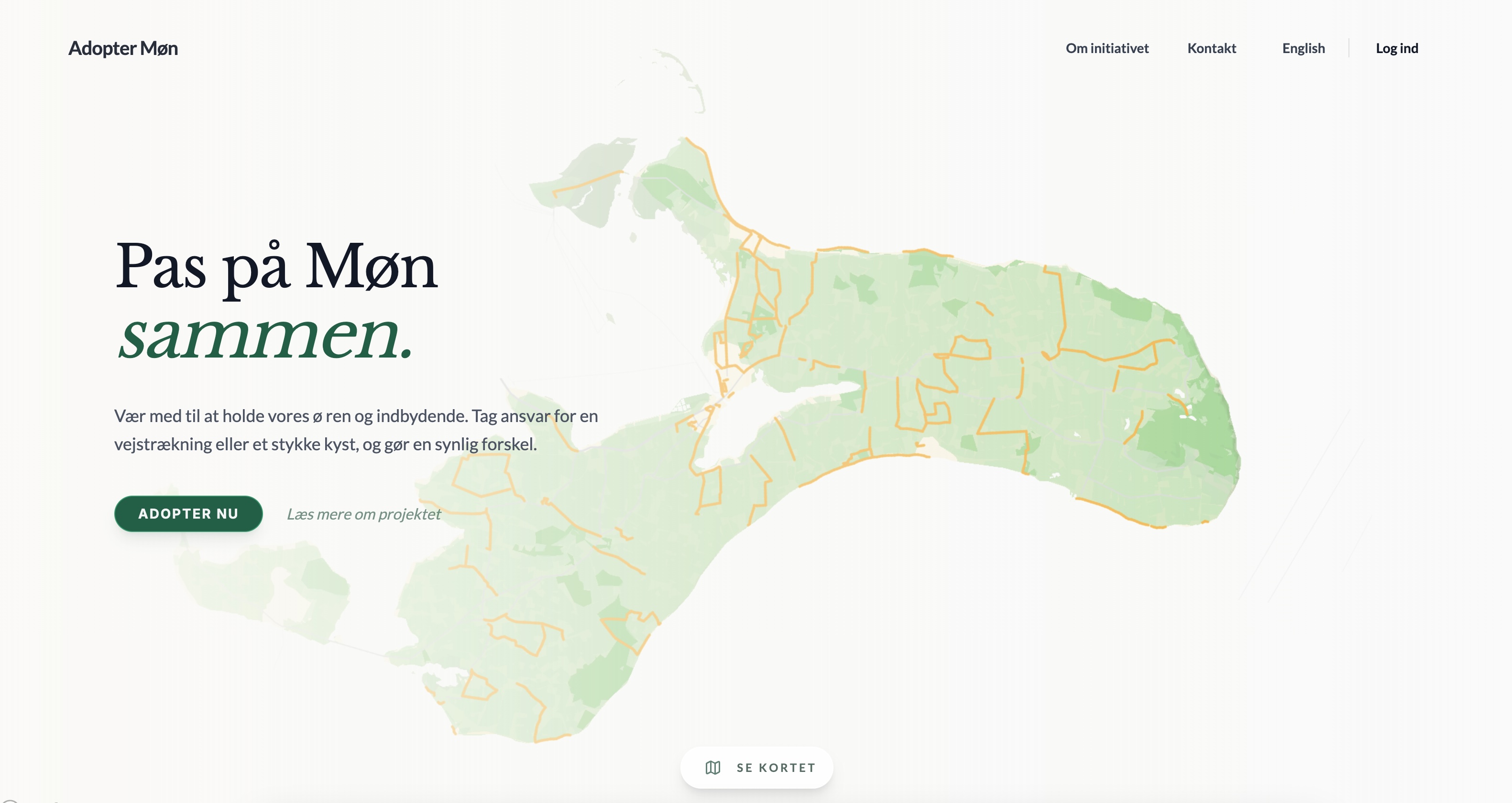
Adopter Møn
Digital infrastructure supporting the Møn Biosphere Reserve's conservation efforts.
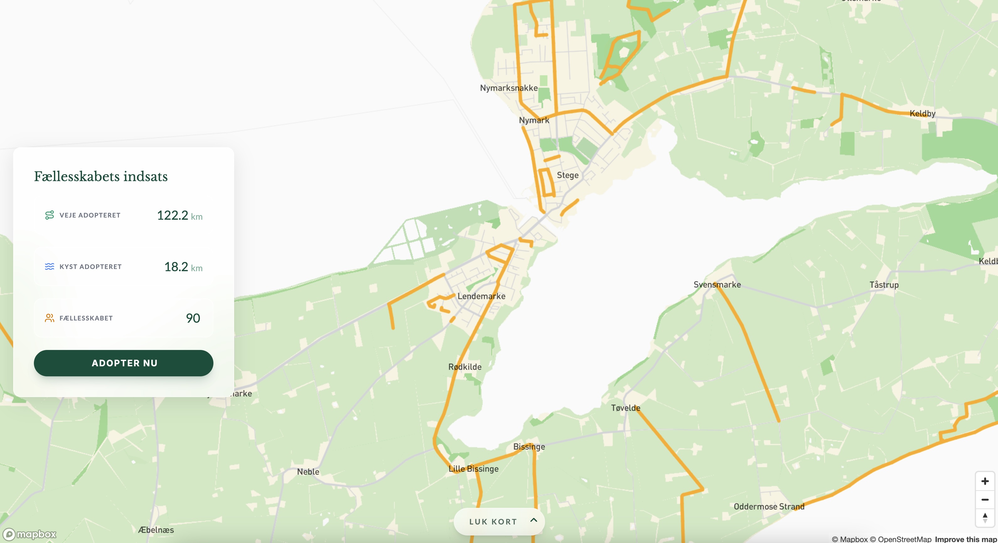
The Initiative
Adopter Møn facilitates coordination between the Møn Biosphere forening and local volunteers. The platform enables community members to take responsibility for maintaining specific sections of the island's infrastructure.
Built to support ongoing conservation efforts, replacing manual coordination with a digital overview.
Data Processing & Mapbox Integration
Creating an adoptable map required combining fragmented datasets from various government sources (roads, coastlines, forest paths).
I processed these sources into a unified geospatial network by cutting and planarizing the paths to ensure topological correctness. Each resulting segment was assigned a unique ID.
These processed geometries were then uploaded as a custom Mapbox tileset for rendering.
A corresponding dataset with matching IDs was stored in Supabase. When a user interacts with the map, the application retrieves the segment ID from the vector tile heavily optimising performance by avoiding complex spatial queries on every interaction.
- Data Pipeline: Aggregated and planarized multi-source geospatial data.
- Custom Tilesets: Optimized vector tiles for performant rendering of extensive networks.
- ID-Based Linking: Efficient O(1) lookup connecting visual map elements to database records.
The Platform Utility
The application provides a seamless interface for users to select and manage their adopted sections.
The client-side pathfinding engine (Dijkstra's algorithm) uses the underlying graph to snap user selections to the valid road network, ensuring that every adopted segment corresponds to a real-world asset.
- Client-Side Pathfinding: Instant route calculation without server round-trips.
- Mobile Optimization: Touch-friendly interaction model for field use.
- Real-time Updates: Immediate visual feedback on adoption status.